Development version. Some content, features or translations may be incomplete.
Go back
Trail 757 – Torre Fico – La Batteria Trail

Trail 757 – Torre Fico – La Batteria Trail

Promontory trails
Municipality
San Felice Circeo
Coordinates
≈ 41.2249, 13.0893
The place

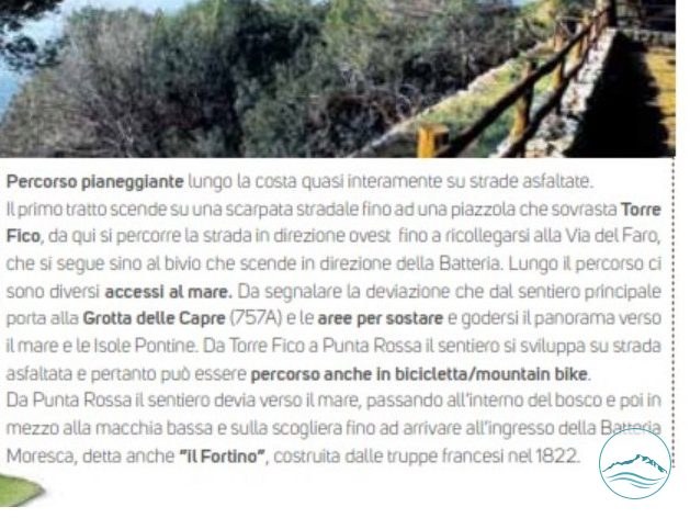
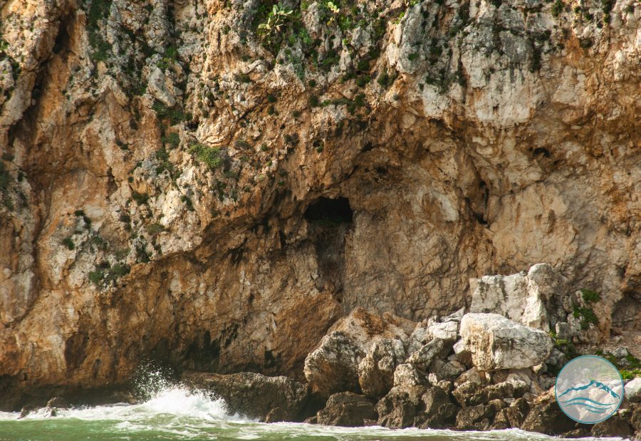
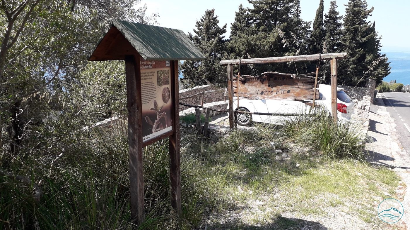
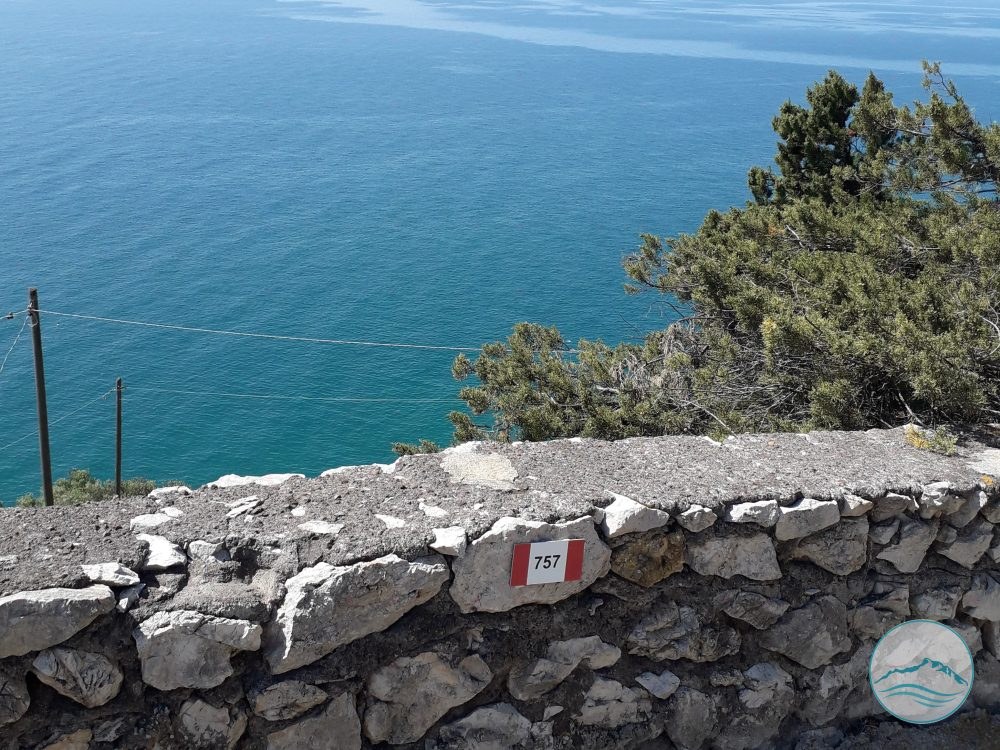
Flat coastal route, almost entirely on asphalt roads. From the stretch near Torre Fico it continues west until it rejoins Via del Faro and then the fork leading down to La Batteria. There is a branch, 757A, to the Grotta delle Capre.

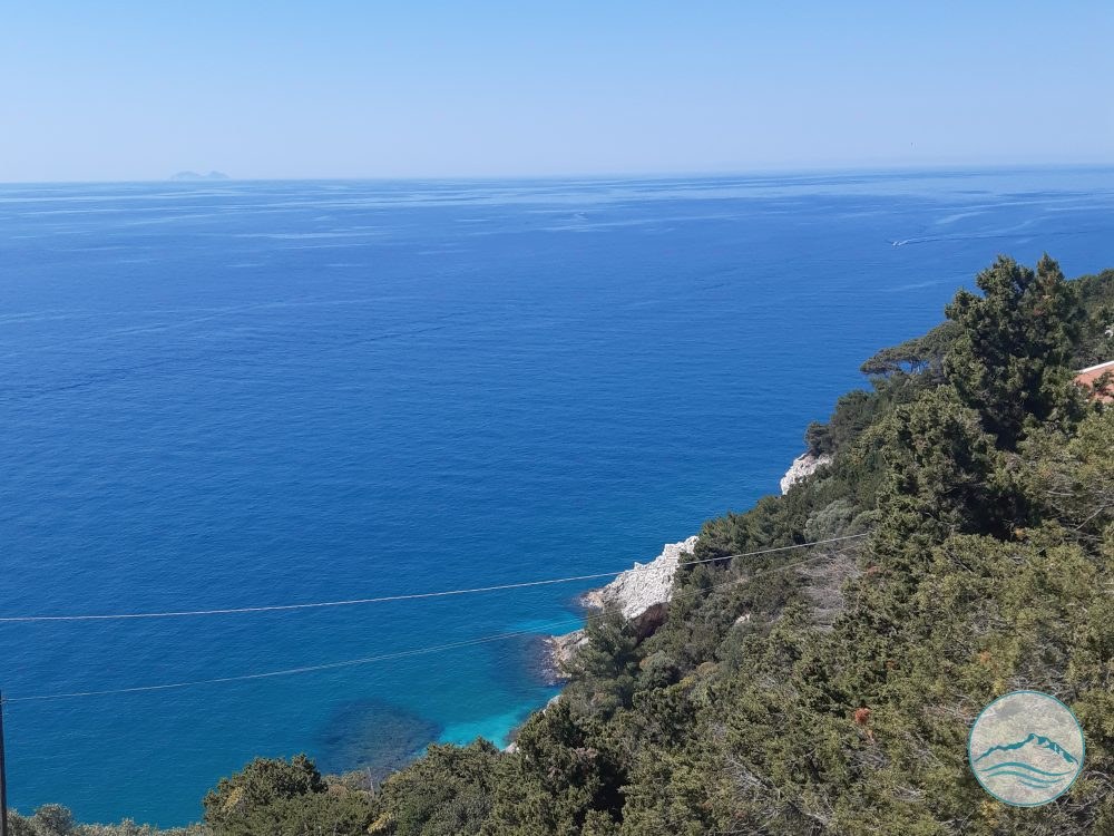
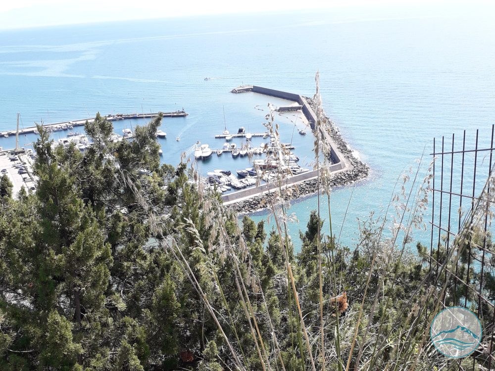
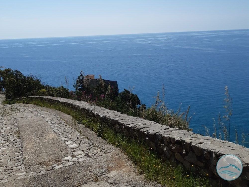
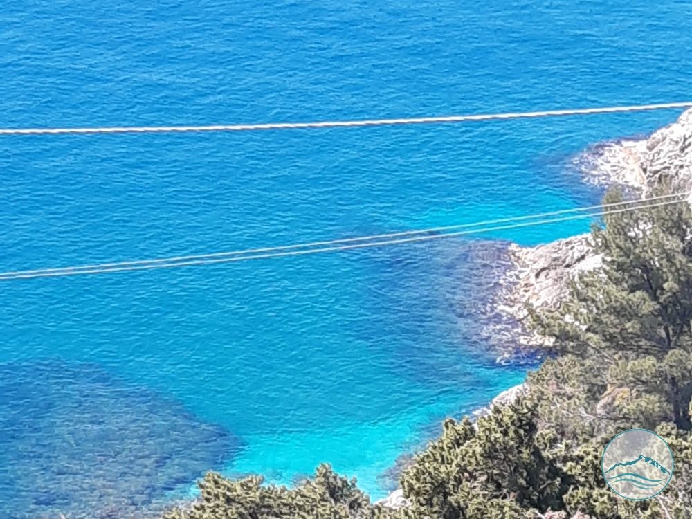
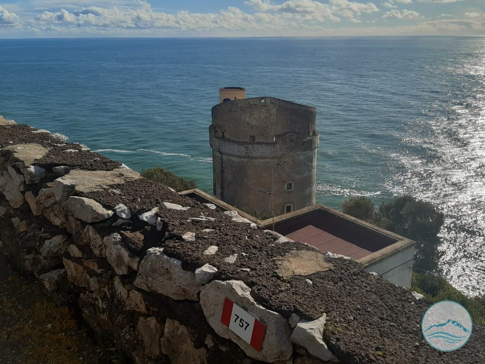
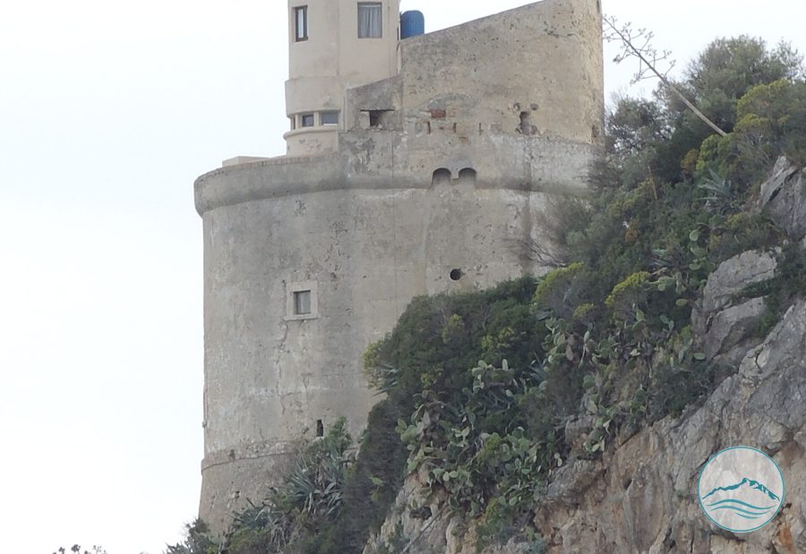
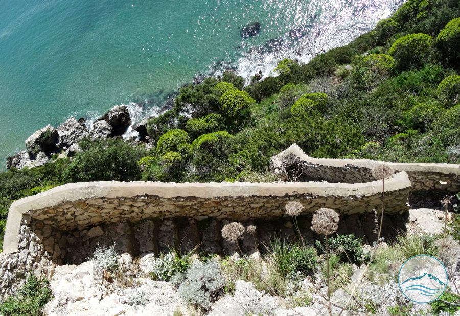
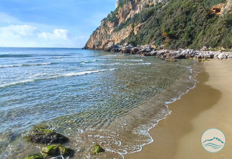
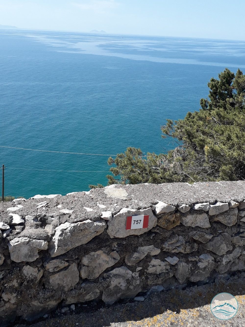
The first stretch descends a road embankment to a lay-by above Torre Fico; from here you continue west until you rejoin Via del Faro. Along the way there are several points of access to the sea and places to stop and admire the view of the sea and the Pontine Islands. From Torre Fico to Punta Rossa the route is on asphalt and can also be cycled, including by mountain bike. From Punta Rossa it turns towards the sea, crossing first woodland, then low scrub and rocks, to the entrance of the Batteria Moresca, also called «il Fortino» (the little fort), built by French troops in 1811.
Curiosities

Did you know?

A little gem to share with your travel companions.

Strada delle Torri

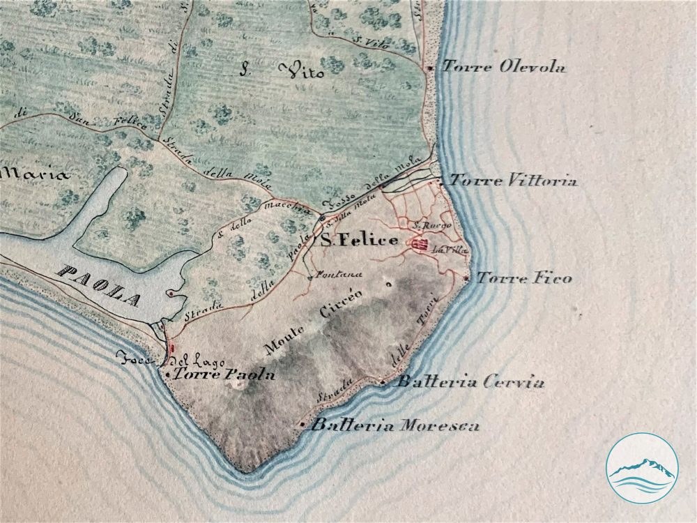
Trail 757 of the National Park, which runs along today’s Via Grotta delle Capre, Via del Faro and the municipal road Strada comunale delle Batterie, follows a much older route. Documents from 1845 held in the State Archives of Rome and the maps of the Gregorian Land Register already show this route under the name “Strada delle Torri” (Road of the Towers): starting from the village, like the thread of a necklace, it linked the defensive posts scattered along the rocky coast as far as the Batteria Moresca (see photos in the gallery).
Walking it, you are in fact following the road of the soldiers who guarded the promontory until the Unification of Italy.

Practical information

Visiting

Open. Difficulty E – Hiking. Walking time: 2 hours. Length: 4.1 km.

Gallery

Trail 757 – Torre Fico – La Batteria Trail

Trail 757 – Torre Fico – La Batteria Trail
Inizio sentiero
Trail 757 – Torre Fico – La Batteria Trail
757
Trail 757 – Torre Fico – La Batteria Trail
Antica strada delle Torri
Trail 757 – Torre Fico – La Batteria Trail
sentiera altezza Torre Fico
Trail 757 – Torre Fico – La Batteria Trail
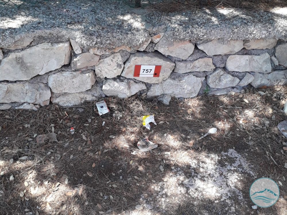
Targa sentieri su Via delle Batterie altezza Punta rossa
Trail 757 – Torre Fico – La Batteria Trail
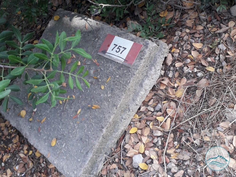
757_su via delle batterie inizio discesa tratto finale
Trail 757 – Torre Fico – La Batteria Trail
indicazioni tratte da vecchia pubblicazione del PNC
Trail 757 – Torre Fico – La Batteria Trail
1845 mappe ufficiali dell’Archivio Gregoriano (le cosiddette “mappette Gregoriane”)

Protected content

The images on this portal are protected by copyright. To request usage rights, write to info@apptron.it.