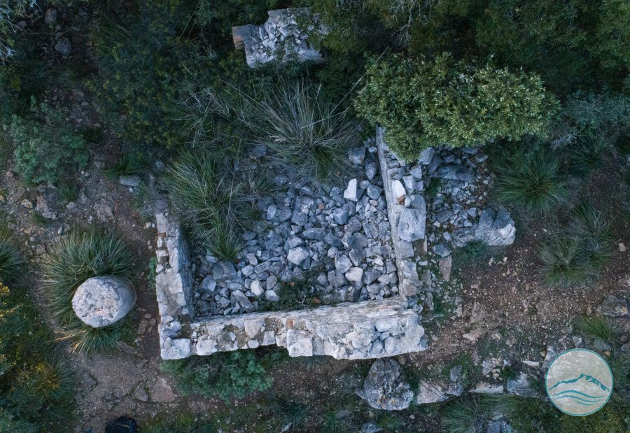
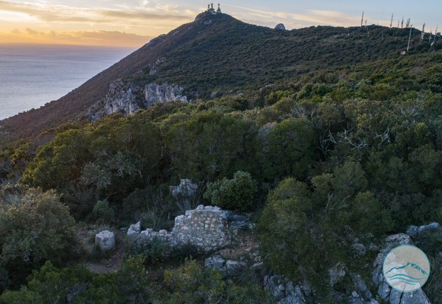
During the Second World War, the remains of the so-called acropolis of Circeo were adapted for military use, with cannons and anti-aircraft guns positioned on the site. Still recognisable today are a casemate (casamatta) inside the southeasternmost corner of the fortifications and the ruins of another small building, some thirty metres to the north-west. Tommaso Lanzuisi gives a good account of the mountain's militarisation, with its artillery and anti-aircraft positions and army barracks, as well as the heavy bombing it endured and the considerable damage this caused to the walls.
- Municipality
- San Felice Circeo
- Coordinates
- ≈ 41.2286, 13.0844
Practical information
Visiting
Accessible if you know the exact location, preferably with a guide.
Gallery
Casamatta
Nearby
Other places just a few minutes away.
History
The So-called Acropolis of Circeo
Fortified area on the summit of the Circeo Promontory, characterized by imposing polygonal masonry walls and traditionally identified as the acropolis of ancient Cir...
Viewpoints
Il Crocifisso o Crocette
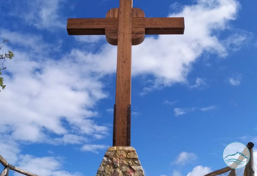
Viewpoint marked by a crucifix, a traditional stop along the trails of the Circeo promontory, offering an open view over the coast; places like this, marked by a rel...
History
Antica viabilità tra Circeii e l’acropoli
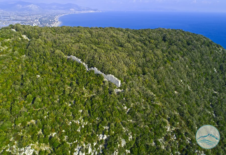
On the Ceraselle trail survives the largest stretch of a wall in polygonal masonry, descending gently from south-east to north-west, almost 9 m long and 2 m high.
Forts
Postazioni militari nella cosiddetta acropoli
Within the enclosure of the so-called acropolis of the Circeo, near Le Crocette, modern and contemporary military posts survive, linked to the use of the promontory...